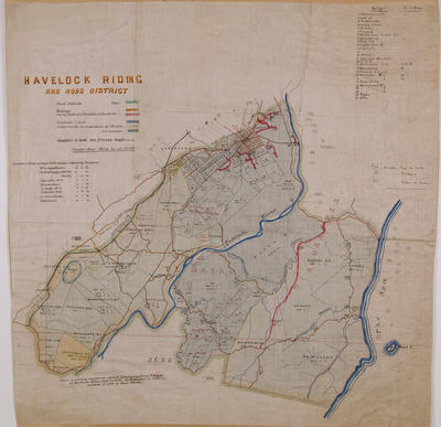
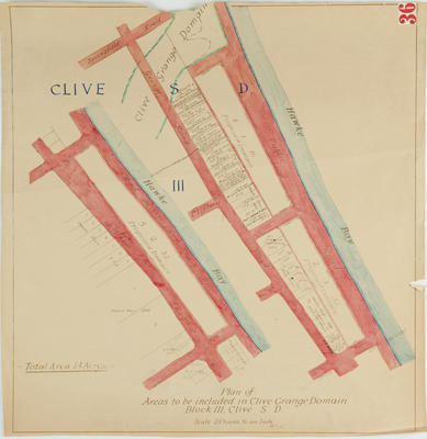
Plan, Napier - Patea Road, Hawke's Bay
Maker
Koch, Augustus
Production date
Circa 1880
Object detail
Brief Description
Plan, Napier - Patea Road, Hawke's Bay.
Circa 1880.
Two cross sectional altitude plans of the Napier Patea Road.
Cartographer, A Koch.
The top plan is the approximate section from Kuripapango to Taradale Via Whanauwhana. Taradale, Tutaekuri River, Kerikewera - 500ft above sea level, Omahaki Creek - 1370 ft, Ngaruroro at Kuripapanga - 1500ft above sea level are shown.
The second altitude plan is the approximate section from Kuripapanga to Taradale via Mangawhere and Barricade Ford. Tutaekuri River bed, Barricade Ford - 930ft, Devils Gap - 2314ft, Atamakopiro Creek - 1766ft, Ohoako Plateau - 3,770ft above sea level is shown.
Approximate distance is 80 miles.
Production date
Circa 1880
Production place
Production period
Production technique
Media/Materials description
Hand drawn on linen in black ink.
Media/Materials
Measurements
Height x Width
Classification terms
Subject person
Subject period
Subject date
Circa 1880
Credit line
gifted by the Hawke's Bay County Council
Other number(s)
m60/36, 5381, 69604


Public comments
Be the first to comment on this object record.