
Map, Havelock North Riding and Road District, Hawke's Bay
Current rights
Public Domain
See full details
Object detail
Brief Description
Map, Havelock North Riding and Road District, Hawke's Bay.
Shown are the road districts, ridings, survey districts, freehold land, native lands in occupation of Māori..
Included is a schedule of areas conveyed to the Queen for railway purposes. The map covers the area from the sea, Waimarama, Tukituki River, Poukawa to the old Ngaruroro River.
The Mount Erin Estate borders the Waikaha Stream near Kaokaoroa area.
Production technique
Media/Materials description
Linen on card backing. Hand drawn in coloured inks.
Media/Materials
Measurements
Height x Width: 595 x 560mm
Classification terms
Subject date
Unknown
Current rights
Public Domain
Caption
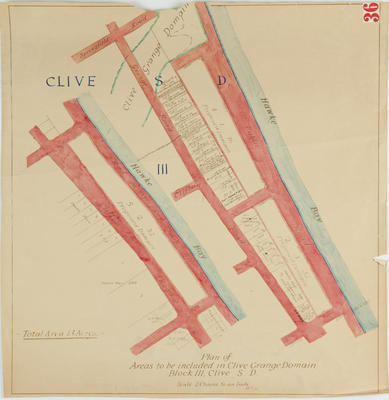
Collection of Hawke's Bay Museums Trust, Ruawharo Tā-ū-rangi, m60/36
Credit line
gifted by the Hawke's Bay County Council
Other number(s)
m60/36, 5374, 69602
Public comments
Be the first to comment on this object record.