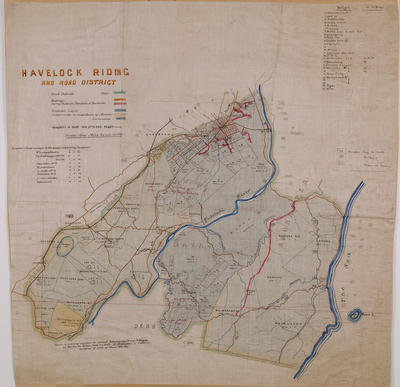
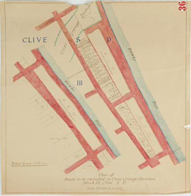
Map, Waipawa, Hawke's Bay
Maker
Whitcombe and Tombs Ltd
Roxel, W
Department of Lands & Survey
Walshe, Harry Edward
Production date
1943
Object detail
Brief Description
Map of Waipawa, Hawke's Bay. 1943.
Topographical map Of Waipawa - sheet No 141, provisional one mile series, scale 1 inch to 1 mile.
Map shows the areas from Mangakuri beach to Rochfort Road in the North to Poukawa Lake, Waipawa River, Waipawa in the West.
Included are roads, railways, bridge loadings, high tension transmission lines, as well as other topographical readings for the area.
Tuki Tuki River runs from Waipawa, North to Havelock North, some 8 miles away. N142, N140, N146, N134 are listed as adjoining maps in the series.
Production date
1943
Production place
Production period
Production technique
Media/Materials description
Printed on paper in coloured inks.
Media/Materials
Measurements
Height x Width: 595 x 795mm
Classification terms
Subject person
Subject period
Subject date
1943
Credit line
gifted by the Hawke's Bay County County
Other number(s)
m60/36, 5386, 69608


Public comments
Be the first to comment on this object record.