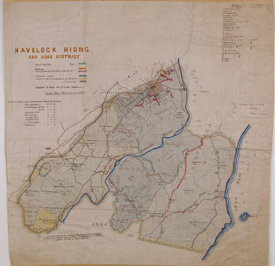
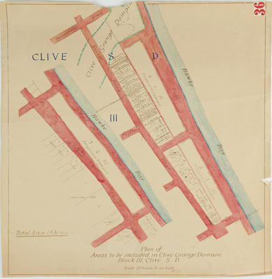
Map, Kuripapanga to Head of Taruarau Spur
Production date
Circa 1886
Object detail
Brief Description
Map, Kuripapanga to Head of Taruarau Spur.
Sketch map showing line of road from Kuripapango to the head of the Taruarau spur - report with plan sent January 19 1882.
Map shows the Ngaruroro River, Ohaoka Station, Taruarau River, Kuripapango, and the Kuripapango Range.
Sketch map showing line of road from Kuripapango to the head of the Taruarau spur - report with plan sent January 19 1882.
Map shows the Ngaruroro River, Ohaoka Station, Taruarau River, Kuripapango, and the Kuripapango Range.
Production date
Circa 1886
Production place
Production period
Production technique
Media/Materials description
Hand drawn on paper. Black and red ink.
Measurements
Height x Width: 455 x 615mm
Classification terms
Subject period
Subject date
Circa 1887
Credit line
gifted by the Hawke's Bay County Council
Other number(s)
m60/36, 5371, 69600


Public comments
Be the first to comment on this object record.