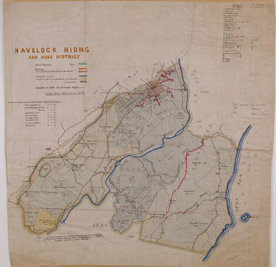
Map, Napier and District
Object detail
Brief Description
Map, Napier and District. Hawke's Bay.
Showing the lagoon, Scinde Island and rivers.
Showing the lagoon, Scinde Island and rivers.
Production technique
Media/Materials description
Photocopy.
Media/Materials
Measurements
Height x Width: 325 x 525mm
Classification terms
Subject period
Subject date
1856-1859
Credit line
gifted by Hawke's Bay County Council
Other number(s)
m60/36, 5378, 69603
Public comments
Be the first to comment on this object record.