Thomas Humphries
Share
Copy Link
Thomas Humphries
Made by this person or organisation
Refine Results
Name/Title:
Map, Borough of Waipawa
Maker:
Humphries, Thomas, MacKay, John, Brodrick, Thomas Noel, Davis, J W
Production date:
1909
See full details
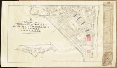 Name/Title:
Cadastral map, borough of Napier and Napier South
Maker:
Humphries, Thomas, MacKay, John
Production date:
1908
See full details
Name/Title:
Cadastral map, borough of Napier and Napier South
Maker:
Humphries, Thomas, MacKay, John
Production date:
1908
See full details
Name/Title:
Cadastral map, Borough of Napier
Maker:
Humphries, Thomas, MacKay, John
Production date:
1908
See full details
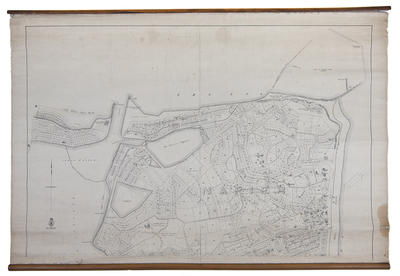
Name/Title:
Map, Borough of Napier
Maker:
Humphries, Thomas, MacKay, John
Production date:
Circa 1908
See full details
Name/Title:
Cadastral map, Borough of Napier
Maker:
Humphries, Thomas, MacKay, John
Production date:
1908
See full details
 Name/Title:
Map, Borough of Napier
Maker:
Humphries, Thomas, Department of Lands & Survey
Production date:
1908
See full details
Name/Title:
Map, Borough of Napier
Maker:
Humphries, Thomas, Department of Lands & Survey
Production date:
1908
See full details
Name/Title:
Cadastral map, Napier Borough, Napier South and Westshore
Maker:
Humphries, Thomas
Production date:
Circa 1908
See full details
Name/Title:
Cadastral map, Borough of Napier
Maker:
MacKay, John, Humphries, Thomas
Production date:
1908
See full details
Name/Title:
Map, Borough of Napier
Maker:
MacKay, John, Humphries, Thomas
Production date:
1908
See full details
Name/Title:
Map, Borough of Napier and Napier South
Maker:
MacKay, John, Humphries, Thomas
Production date:
1908
See full details
Objects with this person or organisation as a subject
Refine Results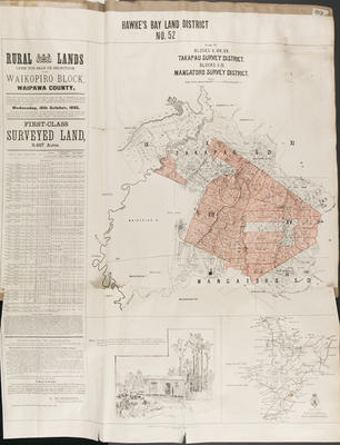 Name/Title:
Plan, Hawke's Bay district No 52 land for sale
Maker:
Smith, Stephenson Percy, Department of Lands & Survey, Barron, A
Production date:
1895
See full details
Name/Title:
Plan, Hawke's Bay district No 52 land for sale
Maker:
Smith, Stephenson Percy, Department of Lands & Survey, Barron, A
Production date:
1895
See full details
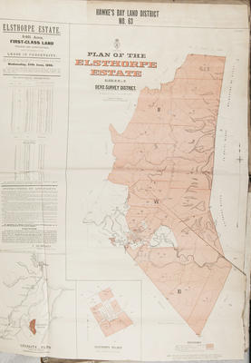 Name/Title:
Plan, Hawke's Bay Land District No 63
Maker:
Department of Lands & Survey, Smith, Stephenson Percy, Hay, James, Roddick, J
Production date:
Mar 1896
See full details
Name/Title:
Plan, Hawke's Bay Land District No 63
Maker:
Department of Lands & Survey, Smith, Stephenson Percy, Hay, James, Roddick, J
Production date:
Mar 1896
See full details
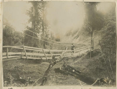 Name/Title:
Mr Humphries on swing bridge
See full details
Name/Title:
Mr Humphries on swing bridge
See full details
Name/Title:
Map, Te Mata
Maker:
Department of Lands & Survey, Hallett, Walter, Smith, Stephenson Percy, Humphries, Thomas
Production date:
Jan 1894, 1881
See full details
Name/Title:
Topographical Map, Pohui District
Maker:
Ellison, Henry, Haylock, A L, Department of Lands & Survey, Department of Lands & Survey
Production date:
1893
See full details
Name/Title:
Advertising poster and plan, Raureka block III
Maker:
Roddick, J, Department of Lands & Survey, Smith, Stephenson Percy, Barron, A
Production date:
Mar 1896
See full details
Name/Title:
Map, Heretaunga and Clive Survey Districts
Maker:
Hallett, Walter, Department of Lands & Survey, Smith, Stephenson Percy, Humphries, Thomas
Production date:
1894
See full details