
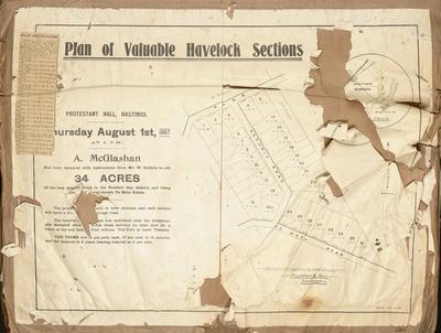
Cadastral map, borough of Napier and Napier South
Maker
Humphries, Thomas
MacKay, John
Production date
1908
Current rights
Public Domain
See full details
Object detail
Brief Description
Cadastral map of borough of Napier and Napier South.
Also Western Spit extension.
Lands & Survey reference: 1000-8.08-292.
Land lots and area sizes are situated around Wellesley Road, Nelson Crescent and Hastings Road. The Tutaekuri River is shown running parallel to Georges Drive, from Ashridge Road, Carnell Street and flowing around to Goa Bay and into the inner harbour. A newspaper clipping from the Napier Harbour Board shows a schedule of land available for lease, which was held at auction October 21, 1908. C B Hoadley & son, land agents.
Particulars and conditions of the leases could be obtained at the harbour board offices or from Sainsbury, Logan & Williams. John P Kenny - Secretary and treasurer.
Maker
Production date
1908
Production place
Production period
Production technique
Media/Materials description
Printed on paper with black ink.
Media/Materials
Measurements
Height x Width: 365 x 630mm
Classification terms
Subject person
Subject period
Subject date
Oct 1908
Current rights
Public Domain
Credit line
gifted by the Hawke's Bay Farmers'
Co-Operative Association
Co-Operative Association
Other number(s)
m74/37/2/32, 75071
Public comments
Be the first to comment on this object record.