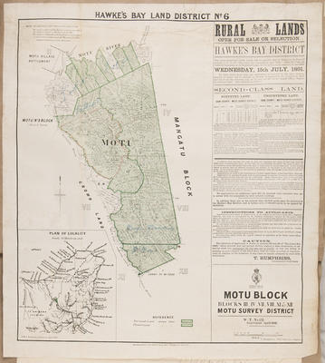
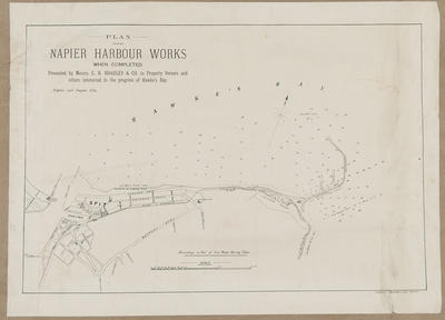
Plan, Hawke's Bay Land District No 6
Maker
Ballantyne, R W S
Department of Lands & Survey
Humphries, Thomas
Neil, William Thomas
Smith, Stephenson Percy
Humphries, Thomas
Production date
Apr 1891
Current rights
Public Domain
See full details
Object detail
Rural lands open for sale or lease.
Applications are to close by Wednesday July 15, 1891.
Shows land lots, surveyed land, area sizes around Motu No 3 block - owned by Percival Barker, Motu village settlement and the main road to Gisborne and Opotiki. At the southern end of the land is noted that a grant has been given to Wi Pere.
Mount Pukekiwi - 3,000 feet above sea level is noted in the area. A schedule of land is included as is a locality plan showing the general area to be West of Gisborne, midway between Gisborne and Whakatane.


Public comments
Be the first to comment on this object record.