Royal Navy Hydrographic Office
Share
Copy Link
Royal Navy Hydrographic Office
Made by this person or organisation
Refine Results
Name/Title:
Nautical Chart, Ninety Miles Beach to Otago
Maker:
Royal Navy Hydrographic Office, Stokes, John Lort
Production date:
1865
See full details
Name/Title:
Nautical Chart, Dusky and Breaksea Sounds
Maker:
Royal Navy Hydrographic Office, Weller, Edward, Carrington, R C
Production date:
1913
See full details
Name/Title:
Nautical map, Admiralty Chart of Tonga or the Friendly Islands
Maker:
Royal Navy Hydrographic Office, Richards, G H, Potter, J D, J & C Walker
Production date:
1888-1890
See full details
Name/Title:
Nautical map, New Hebrides
Maker:
Royal Navy Hydrographic Office, Richards, G H, Potter, J D, Powell, Edward
Production date:
1888
See full details
Name/Title:
Map, Poverty Bay to Castle Point
Maker:
Royal Navy Hydrographic Office, Stokes, John Lort, Drury, Byron, J & C Walker
Production date:
10 Aug 1847
See full details
Name/Title:
Nautical Chart, Poverty Bay to Castle Point
Maker:
Powell, Edward, Royal Navy Hydrographic Office, J & C Walker
Production date:
May 1874
See full details
Name/Title:
Nautical Chart, Otago to Mataura River and Ruapuke Island
Maker:
Powell, Edward, Royal Navy Hydrographic Office
Production date:
26 Jan 1857
See full details
Name/Title:
Nautical map, South Pacific Ocean
Maker:
Weller, Edward, Royal Navy Hydrographic Office, Evans (RN) F J, Potter, J D
Production date:
17 Dec 1877
See full details
Name/Title:
Nautical map, Admiralty Chart Mayor Island to Poverty Bay, 1872
Maker:
J & C Walker, Royal Navy Hydrographic Office, Potter, J D, Powell, Edward, Drury, Byron
Production date:
Pre 1884
See full details
Name/Title:
Nautical map, Poverty Bay and Castle Point
Maker:
J & C Walker, Royal Navy Hydrographic Office, Potter, J D, Stokes, John Lort, Drury, Byron
Production date:
Mid 20th Century
See full details
Objects with this person or organisation as a subject
Refine Results
Name/Title:
Map, Poverty Bay to Castle Point
Maker:
Royal Navy Hydrographic Office, Stokes, John Lort, Drury, Byron, J & C Walker
Production date:
10 Aug 1847
See full details
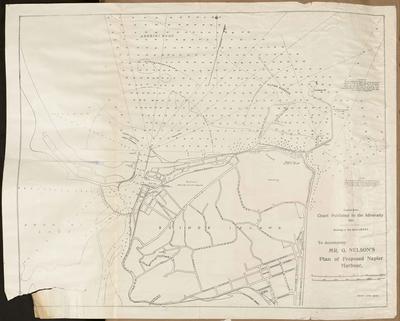 Name/Title:
Plan, Proposed Napier harbour
Maker:
Herald Lithography, Royal Navy Hydrographic Office
Production date:
1907
See full details
Name/Title:
Plan, Proposed Napier harbour
Maker:
Herald Lithography, Royal Navy Hydrographic Office
Production date:
1907
See full details