MTG Hawke's Bay
MTG Hawke's Bay
  • Collection
  • Explore
    Featured collections
    Highlights
    Makers
    Object types
    Bird's eye view
    Colours
  • Advanced search
  • My shortlist
  • Our main site

Searching for:

  • Object 
  • Person 
Refine Results
Refine results
Collection
  • Archives - Tātai kōrero 6
  • Photographs - Māpihi mauria 2
Images attached
  • No 6
  • Yes 2
Maker
  • Bell, Robert Moore 2
  • Deveril, Herbert 2
  • Koch, Augustus Karl Frederick 2
  • Public Works Department 2
  • A H & A W Reed 1
  • Pictorial Publications Ltd 1
  • Rochfort & Son 1
  • Whitcombe and Tombs Ltd 1
  • Yield, I J 1
Subject category
  • APC.133 8
  • Archive classification 8
  • Maps 5
  • Environment 4
  • Infrastructure 2
  • Land 2
  • Myth and legend 2
  • Māori 2
  • Rail 2
  • Rivers and Lakes 2
  • Roads and roading 2
  • Transport 2
Classification terms
  • Communication Artifacts 8
  • Documentary Artifact 8
  • Map 5
  • Print, Photographic 2
  • Album, Photograph 1
  • Plan 1
Production date
to
Current rights
  • Public Domain 2
  • All Rights Reserved 1
Image Orientation
  • landscape 2
colour
Sort Descending
View
  • List
  • Label
  • Lightbox
More Options
View
  • List
  • Label
  • Lightbox
Shortlist
  • Add All to Shortlist

8 results. Displaying results 1 - 8.

Cadastral map, Lake Waikaremoana and surrounds
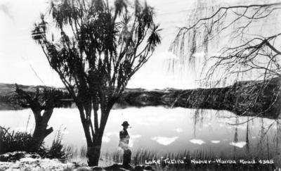
Lake Tutira
Lake Tutira
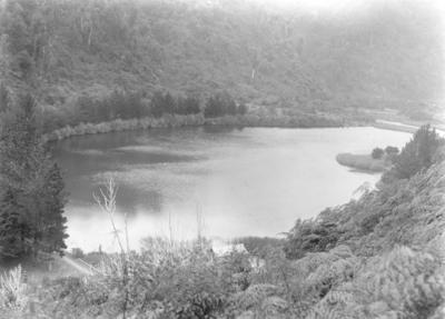
Wainuiomata Reservoir, Lower Hutt
Map, Lake Taupo Robert Bell; 16 Jan 1907; 12 May 1989 Pictorial Publications Ltd; 1949
Map, Lake Rotorua and Districts I J Yield Whitcombe and Tombs Ltd; 1882 Robert Bell; 16 Jan 1907; 12 May 1989 A H & A W Reed 1963
Plan, Patangata land block 3 Rochfort & Son Circa 1910
Map, North Island Augustus Karl Frederick Koch; 1835; 31 Dec 1901 Herbert Deveril; 1840; 1911 Public Works Department 1877 46/34
Map, South Island Augustus Karl Frederick Koch; 1835; 31 Dec 1901 Herbert Deveril; 1840; 1911 Public Works Department 1877
MTG Hawke's Bay - Copyright © 2023
Collection directory

Vernon Browser