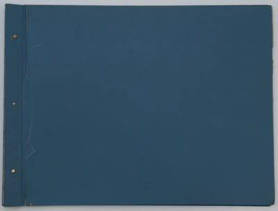
Maps, East Coast
Current rights
All Rights Reserved
See full details
Object detail
Brief Description
Bound folder of 21 maps (mainly cadastral) of eastern coastal areas including Hawke's Bay, several with markings in felt pen that relate to various Harbour Boards' control and endowment of land, foreshore and water.
A key pasted to the inside cover notes that the book was compiled in July 1972, however there is also included a 1997 Navy Chart for Lake Taupo including Plans of Bays and Anchorages.
Also in the folder is a copy of a hand drawn map of an area of Clive around the Tukituki and Ngaruroro Rivers; it displays names of landowners: Johnson, Jensen, Pedersen, Buss, Rennell, Boyce, White, Douglas, and includes the location of the Colenso Memorial.
The cadastral maps are: East Cape (Oct 1962); Waiapu (Apr 1972); Tokomaru Bay (Dec 1972); Tolaga Bay (Oct 1972); Gisborne (Oct 1973); Wharerata (Feb 1964); Mahia (Jul 1963); Wairoa (Jul 1963); Mohaka (May 1963); Tangoio (Jun 1963); Esk (Apr 1963); Napier and Hastings (Dec 1962); Kidnappers, incl Te Awanga and Clifton (Jul 1963); Waimarama (Aug 1961); Waipawa (Aug 1961); Waipukurau (Aug 1961); Porangahau (Aug 1961); and Cape Turnagain (Aug 1961).
The last map features a section of Dannevirke County and is undated.
Production place
Production period
Media/Materials description
Cloth bound hardboard cover with metal stoppers
Media/Materials
Measurements
Height x Width: 810 x 660mm
Classification terms
Subject period
Current rights
All Rights Reserved
Credit line
gifted by Maritime New Zealand
Other number(s)
2017/30/1, 95258
Accession number
2017/30/1


Public comments
Be the first to comment on this object record.