
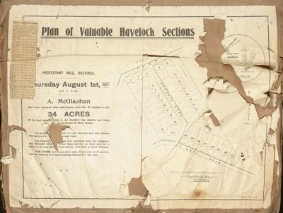
Plan, Puketapu Estate land for sale
Maker
Herald Lithography
Griffin & Saxby
Production date
Circa 1910
Current rights
Public Domain
See full details
Object detail
Brief Description
Plan of Puketapu Estate land for sale.
Consisting 1,238 acres, 8 miles from Napier.
The lands are to be sold by Griffin & Saxby, who have received instructions to sell privately 35 lots including 19 township sections.
Land lots and area sizes are situated around the Tutaekuri River, Puketapu township and the road to Napier. P Dolbel owns property at the South end, by the Tutaekuri River and F W Hirtzel has property bordering the Napier road and land blocks for sale. R Neagle, who is Mr Hirtzel's neighbour has land to the North, next to block 16. E Davis owns land bordering the Puketapu township.
Production date
Circa 1910
Production place
Production period
Production technique
Media/Materials description
Printed on paper.
Media/Materials
Measurements
Height x Width: 570 x 445mm
Classification terms
Subject person
Subject period
Subject date
Circa 1910
Current rights
Public Domain
Credit line
gifted by the Hawke's Bay Farmers'
Co-Operative Association
Co-Operative Association
Other number(s)
m74/37/2/55, 75145
Public comments
Be the first to comment on this object record.