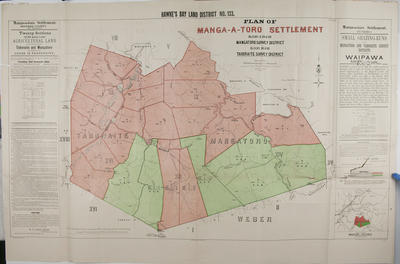
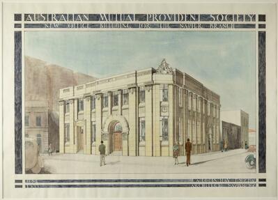
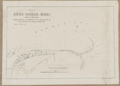
Plan, Hawke's Bay land district No 133 land for sale
Maker
Goldsmith, E C
MacKay, John
Marchant, J W A
Flanagan, F W
Department of Lands & Survey
Duncan, George
Hay, James
Farnie, E H
Brook, T
McAlister, W C
Production date
1901
Current rights
Public Domain
See full details
Object detail
L & S Ref: SG 19233.
L & S Ref: 5007/02-4.
Manga - A - Toro settlement, blocks IX, XIII & XIV, Mangatoro survey district.
Blocks XII & XVI, Tahoraite survey district.
Land available for lease in the Tahoraite and Mangatoro survey district consists of twenty sections of 12,792 acres, and 6,620 acres of small grazing runs in the above survey districts for lease in perpetuity, is open to applicants on Tuesday January 21, 1902. Included is a list of instructions to applicants, noting the office locations with which to make applications and the terms and conditions of buying or leasing the land. Signed by E C Goldsmith, Commissioner of Crown Lands.
Land lots and area sizes, rivers, survey district boundaries are shown around Ongaha Road, Mangatoro Valley Road, Mangatakoto Stream, Mangapika River, Mt Peka Peka Nui, Mangamaire Stream and the main road to Weber. The Weber district borders the land blocks to the South. Lake Rotoataha is noted in block XVI, near Lake Hill - 1,506 feet.
A locality map is included showing the general area to be South West of Dannevirke and East of Kumeroa.
Co-Operative Association


Public comments
Be the first to comment on this object record.