
Plan, Napier harbour works
Maker
Herald Lithography
Production date
19 Aug 1889
Current rights
Public Domain
See full details
Object detail
Brief Description
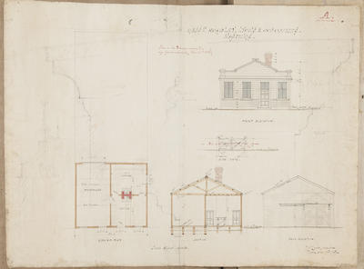
Plan showing Napier harbour works when completed. Presented by C B Hoadley & Co to property owners and other interested parties, in the progress of Hawke's Bay.
Shows the harbour area with depth soundings in fathoms, roads around Western Spit, Ahuriri inner harbour, Battery Road, the Spit and the Iron pot area. The Post Office and Customs house is noted adjoining the Iron Pot Quay.
The crib work for protecting the beach is noted on Harding Road.
Two proposed wharves and the breakwater extending past Auckland rock is also noted.
Maker
Production date
19 Aug 1889
Production place
Production period
Production technique
Media/Materials description
Printed on paper with black ink.
Media/Materials
Measurements
Height x Width: 365 x 510mm
Classification terms
Subject person
Subject period
Subject date
19 Aug 1889
Current rights
Public Domain
Credit line
gifted by the Hawke's Bay Farmers Co Operative Association
Other number(s)
m74/37/1/20, 74060
Public comments
Be the first to comment on this object record.