
Map, Napier land lots
Maker
Bowman, Frederick William
Production date
1880s
Current rights
Public Domain
See full details
Object detail
Brief Description
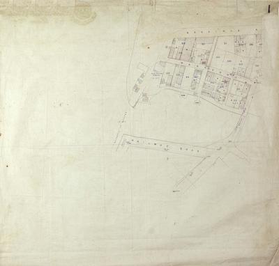
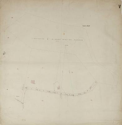
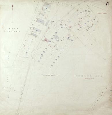
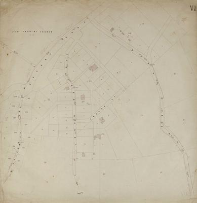
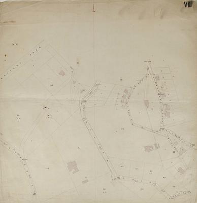
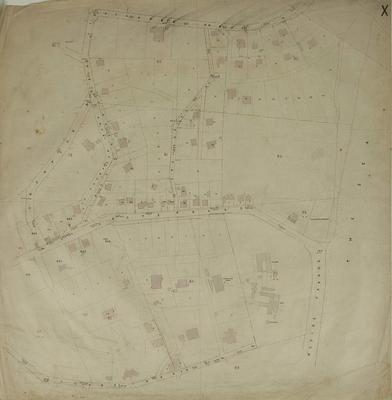
Map, Napier land lots in the Central Business District area. Sheet XXIV.
Land lots and area sizes and streets around the Beach Road and Hastings Street area, bordering the Lagoon and Te - Whare - O - Maraenui block.
Note:
No date evident, but St John's Cathedral was built in 1888 and is not shown on any of these plans.
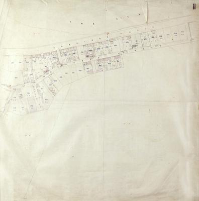
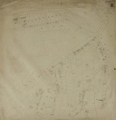
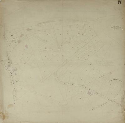
Land lots and area sizes and streets around the Beach Road and Hastings Street area, bordering the Lagoon and Te - Whare - O - Maraenui block.
Note:
No date evident, but St John's Cathedral was built in 1888 and is not shown on any of these plans.
Production date
1880s
Production place
Production period
Production technique
Media/Materials description
Hand drawn on linen with ink.
Media/Materials
Measurements
Height x Width: 765 x 765mm
Classification terms
Subject period
Subject date
1880s
Current rights
Public Domain
Caption
Collection of Hawke’s Bay Museums Trust, Ruawharo Tā-ū-rangi, 72541
Other number(s)
72541
Public comments
Be the first to comment on this object record.