
Map, Napier land lots
Maker
Bowman, Frederick William
Production date
1880s
Current rights
Public Domain
See full details
Object detail
Brief Description
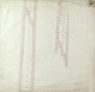
Map, Napier land lots in the Central Business District area. Sheet XX.
Land lots and area sizes and streets are shown in the Carlyle Street, Thackeray Street, Clive Square, Munroe Street and Stamford Street area.
The Masonic hall is on Munroe Street and the railway station and marshalling yards are around the Malcolm Street area.
Note:
No date evident, but St John's Cathedral was built in 1888 and is not shown on any of these plans.
Production date
1880s
Production place
Production period
Production technique
Media/Materials description
Hand drawn on linen with ink.
Media/Materials
Measurements
Height x Width: 795 x 755mm
Classification terms
Subject person
Subject period
Subject date
1880s
Current rights
Public Domain
Other number(s)
72527
Public comments
Be the first to comment on this object record.