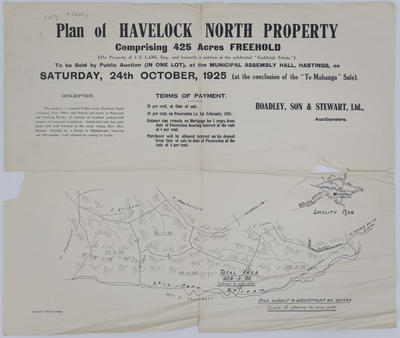
Map, Havelock North
Maker
Herald Lithography
Production date
1925
Current rights
Public Domain
See full details
Object detail
Brief Description
Plan, Havelock North property. 1925.
The property of J E Lane comprising 425 acres of freehold land.
The property of J E Lane comprising 425 acres of freehold land.
Maker
Production date
1925
Production place
Production period
Production technique
Media/Materials description
Printed on paper with black ink.
Measurements
Height x Width: 480 x 565mm
Classification terms
Subject person
Subject period
Subject date
24 Oct 1925
Current rights
Public Domain
Caption
Collection of Hawke's Bay Museums Trust, Ruawharo Tā-ū-rangi, m54/26 j
Credit line
gifted by F E W Mace
Other number(s)
m54/26(j), 5159, 71203


Public comments
Be the first to comment on this object record.