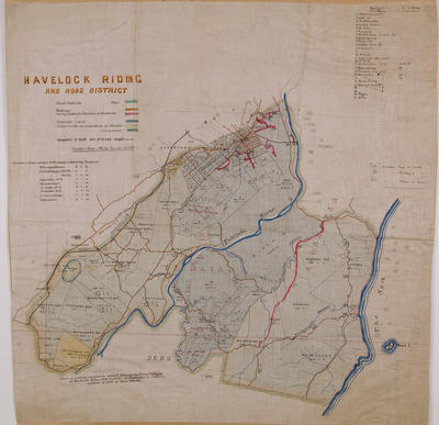
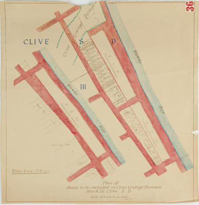
Map, Dannevirke, Hawke's Bay
Maker
C M Banks Ltd
Walshe, Harry Edward
Department of Lands & Survey
Production date
1943
Object detail
Brief Description
Map, Dannevirke, Hawke's Bay. 1943.
Topographical map of Dannevirke - Sheet N.145 in the provisional one mile series.
Shows the Whangai Range, Maharakeke settlement and Takapau to the North. The Ruahine Ranges, Dannevirke and Makotuku are to the West.
Shows topographical references such as mountain heights, elevations, roads, towns, railways, bridges, transmission lines and trig stations.
N1.146, N1.144, N.150 are listed as adjoining maps.
Production date
1943
Production place
Production period
Production technique
Media/Materials description
Printed on paper in black ink.
Media/Materials
Measurements
Height x Width: 580 x 745mm
Classification terms
Subject person
Subject period
Subject date
1943
Credit line
gifted by the Hawke's Bay County Council
Other number(s)
m60/36, 5391, 69612


Public comments
Be the first to comment on this object record.