
Plan, Clive
Maker
Paul, E V
Burton, W J
Dick, R G
Department of Lands & Survey
Walshe, Harry Edward
Production date
Circa 1939
Current rights
Public Domain
See full details
Object detail
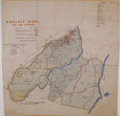
Cadastral of Clive S D.
Shows lot numbers and area sizes, Survey district boundaries, block boundaries, railways, roads, closed roads and trig stations.
Four insets of different areas in the Clive area.
First inset is of the Awatoto area including McGrath Street, Waitangi Road and the Palmerston Nth state highway.
Second inset is of the Clive suburban sections showing Ngaruroro River, Waikahu and Waitangi sections.
Third inset is of Haumoana area showing Clive Grange Domain, Road reserve, Grange Road.
Fourth inset is of West Clive showing Ngaruroro River, Hastings Napier Road, Clive Road, Waitangi Road.
Public comments
Be the first to comment on this object record.