Plan, Waipawa County
Maker
Herald Lithography
Saxby, A G
Production date
1916
Object detail
Brief Description
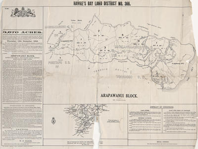
Plan, Waipawa County land for lease. 1916.
6,000 acres, subdivided into 23 farms to be leased by tender on Monday, January 31, 1916.
The plan shows blocks of land with lot numbers and area sizes.
The land is bordered by W T Williams property and by Native land.
Situated 30 miles from Napier in the Waipawa and Patangata Counties.
6,000 acres, subdivided into 23 farms to be leased by tender on Monday, January 31, 1916.
The plan shows blocks of land with lot numbers and area sizes.
The land is bordered by W T Williams property and by Native land.
Situated 30 miles from Napier in the Waipawa and Patangata Counties.
Production date
1916
Production place
Production period
Production technique
Media/Materials description
Plan, printed on paper in black ink.
Media/Materials
Measurements
Height x Width: 425 x 635mm
Classification terms
Subject person
Subject period
Subject date
1916
Credit line
gifted by Hallett & O'Dowd
Other number(s)
m59/27, 5322, 69563
Public comments
Be the first to comment on this object record.