Map, Porangahau land block
Maker
Koch, Augustus Karl Frederick
Production date
1864
Object detail
Brief Description
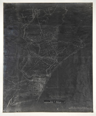
Copy of a map of the Porangahau land block, Southern Hawke's Bay.
Original hand drawn by August Koch.
The map shows bordering blocks of Napier and Rua Taniwha. Settlements listed include Cape Turnaround, Waimata and Blackhead.
Land owners listed are: J H Northwood, Hargrave & Couper, Chapman, E Collins, W S Grahame, O Collan, Tarewa, H R Russell, H S Tiffen, F S Abbott, A Newman, T P Russell, A Grant, Talley, T E Rumuopea and R J Duncan.
Production date
1864
Production period
Production technique
Media/Materials description
Drawn in ink on linen backed paper.
Media/Materials
Measurements
Height x Width: 640 x 470mm
Classification terms
Subject person
Subject period
Subject date
1864
Caption
Collection of Hawke’s Bay Museums Trust, Ruawharo Tā-ū-rangi, 5676 (b)
Credit line
gifted by Mr R D Speedy
Other number(s)
m74/12, 5676(b), 69502
Public comments
Be the first to comment on this object record.