Map, Dannevirke County
Maker
Walshe, Harry Edward
Barlow, P W G
Dick, R G
Paul, E V
Department of Lands & Survey
Production date
1938
Current rights
Public Domain
Object detail
Brief Description
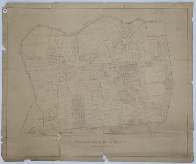
The cadastral map is of Dannevirke County and records survey district boundaries, area sizes, lot numbers, towns, settlements, roads, rivers around the Hatuma settlement, the Otawhao block, Rakaiatai No 1, Dannevirke, Mangatoro settlement and the Manawatu river to the summit of the Ruahine range.
Lands and Survey reference: 500-L453/38.
Date, 1938.
Lands and Survey reference: 500-L453/38.
Date, 1938.
Production date
1938
Production place
Production period
Production technique
Media/Materials description
Printed on paper backed with linen and black ink.
Media/Materials
Measurements
Height x Width: 880 x 750mm
Classification terms
Subject period
Subject date
1938
Current rights
Public Domain
Credit line
gifted by the Law Society of Hawke's Bay
Other number(s)
5631, m70/47, 68868
Public comments
Be the first to comment on this object record.