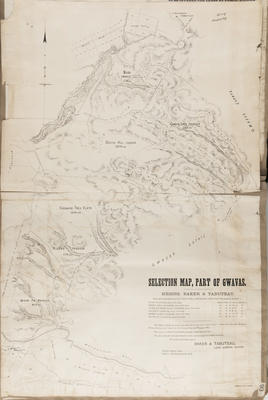
Plan, Messrs Anderson & Duff land, Whakarara District
Maker
Rochfort, James
Object detail
Brief Description
Plan of Messrs Anderson & Duff land, Whakarara district.
Twenty chains to the inch.
The plan shows block boundaries, survey marks, land sizes around Mangamauku Creek, Devils Gully. H A Duff has land on block 72, bordering Devils Gully and John Anderson has land at the West side. Mr Anderson also has land on block 76. H A Duff has other land on block 74, 55 and 56. All the land is in the Whakarara district.
Production place
Production technique
Media/Materials description
Handwritten and hand drawn in ink, painted in watercolour. Artist's tracing paper.
Media/Materials
Measurements
Height x Width: 500 x 370mm
Classification terms
Subject person
Other number(s)
6388, 31160
Public comments
Be the first to comment on this object record.