Map, Hawke's Bay County
Maker
Walshe, Harry Edward
Skinner, W A G
Thompson, J D
Production date
1929
Object detail
Brief Description
Map, Hawke's Bay County. Sheet 4. L&S Ref: 500-L13129-29.
Cadastral map showing county boundaries, borough boundaries, town district boundaries, land district boundaries, land lots with area sizes around the Tuki Tuki River, Waimarama, Kidnapper district, Lake Poukawa, Havelock North, Hastings, Clive, Ngaruroro River and Napier areas.
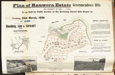
Kirikiri O Tamaki, Rauwera, Waiwakatetire can be seen bordering the Ahuriri Lagoon.
Cadastral map showing county boundaries, borough boundaries, town district boundaries, land district boundaries, land lots with area sizes around the Tuki Tuki River, Waimarama, Kidnapper district, Lake Poukawa, Havelock North, Hastings, Clive, Ngaruroro River and Napier areas.
Kirikiri O Tamaki, Rauwera, Waiwakatetire can be seen bordering the Ahuriri Lagoon.
Production date
1929
Production place
Production period
Production technique
Media/Materials description
Printed on cartography paper. Parts of it are coloured.
Media/Materials
Measurements
Height x Width: 970 x 760mm
Classification terms
Subject person
Subject period
Subject date
1929
Credit line
gifted by the Alexander Turnbull Library
Other number(s)
6266, m2003/46/80, 24067
Public comments
Be the first to comment on this object record.